
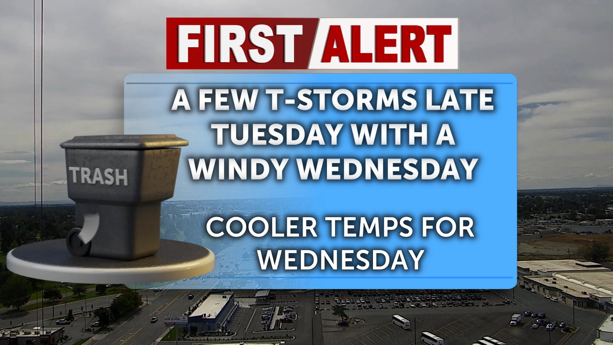

It will be a breezy midweek day as storms continue to push through the Central Mountains. Expect stronger wind gusts across the upper Snake River Plain and much of the Arco Desert near the INL. Precipitation and storm chances remain about the same as yesterday, with a higher chance toward the Sawtooth Forest, as a Red Flag Warning has been extended to 3:00 pm this Wednesday afternoon for thunderstorm activity. The rest of the region, however, should expect drier conditions today.
Wednesday morning will start with gray skies as the sun rises. A broad upper trough remains in place near the Northwest Pacific, meaning a continued breezy pattern will pick up this afternoon heading into the holiday weekend. Unsettled holiday weekend weather is becoming increasingly likely as we approach Sunday and Monday’s official forecasts.
It will feel noticeably cooler today than yesterday, with high temperatures climbing only into the mid-70s, depending on your location. Humidity will also be lower than Tuesday, but winds will begin to pick up in the early afternoon, causing a slight chill in the air. Gusts will pick up and get steadily into the 30- 40 mph range across parts of the Upper Snake River Plain and near the INL. Overnight lows tonight and into Thursday morning will settle into the lower 50s and upper 40s across the region.
A few isolated thunderstorms are possible for Thursday. Otherwise, mostly sunny with high temperatures reaching the mid 70’s. Winds will be out of the south around 10 to 15 mph, increasing to 15 to 20 mph in the afternoon. Winds could gust as high as 25 mph.
Sunny for Friday with highs in the upper 70’s. Temperatures will gradually warm over the next few days.
Red Flag Warning issued September 1 at 1:05 PM MDT until September 2 at 3:00PM MDT by NWS Pocatello ID
* AFFECTED AREA…Fire Weather Zone 422 Sawtooth Range/Northern
Sawtooth NF.
* IMPACTS…Scattered thunderstorms produce frequent dangerous
lightning over an area that can mean extreme initial attack
burdens for wildland firefighting resources.
* THUNDERSTORMS…Scattered coverage Tuesday afternoon and
evening, then scattered coverage resumes Wednesday morning as
early as 6 AM. Scattered thunderstorms will continue until the
mid-afternoon, then move northward into the Salmon-Challis
National Forest.
* OUTFLOW WINDS…Gusts to 45 mph are possible.
A Red Flag Warning means that critical fire weather conditions
are either occurring now, or will shortly based on these criteria
for Southeastern Idaho:
– Thunderstorm coverage of 25 percent, without specific rainfall
criteria.