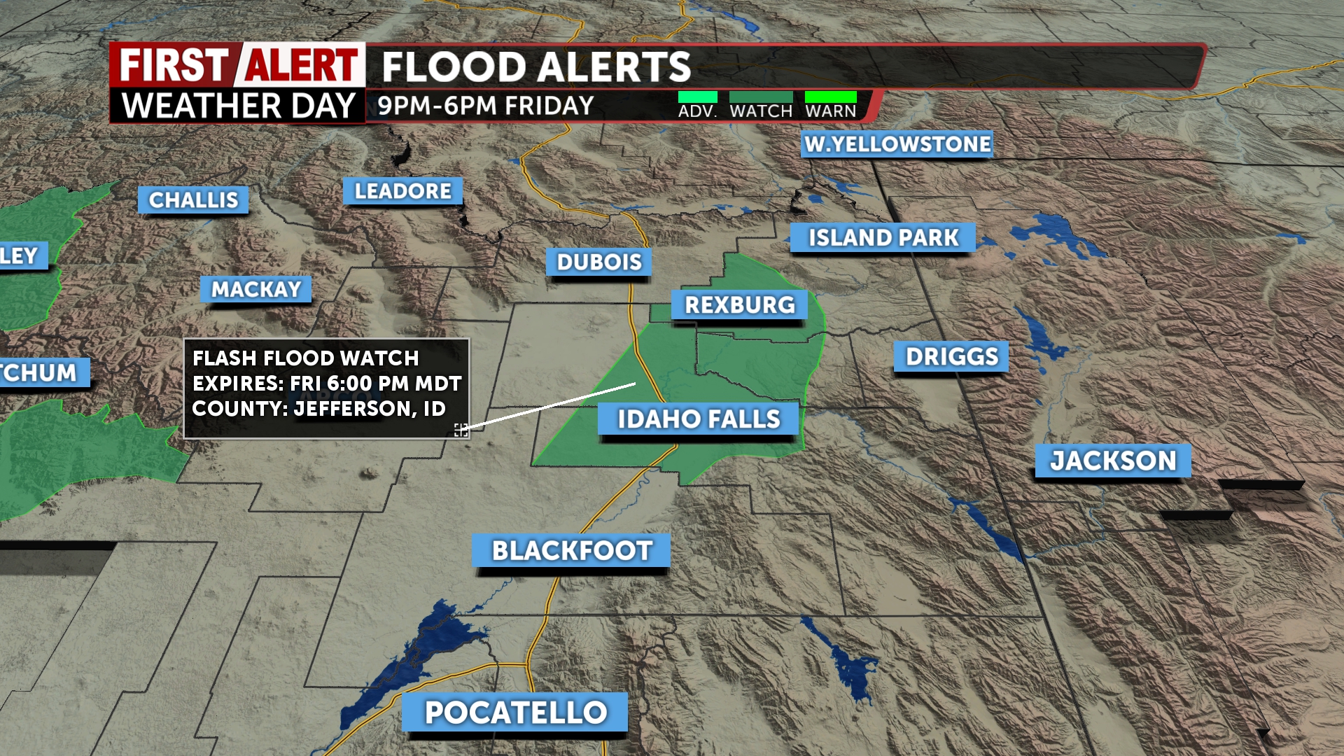
First Alert Weather Day: Flash flood watches remain in effect through tonight at 6pm for the upper central Snake River Plain along I-15 and the Big Rock Burn scar.
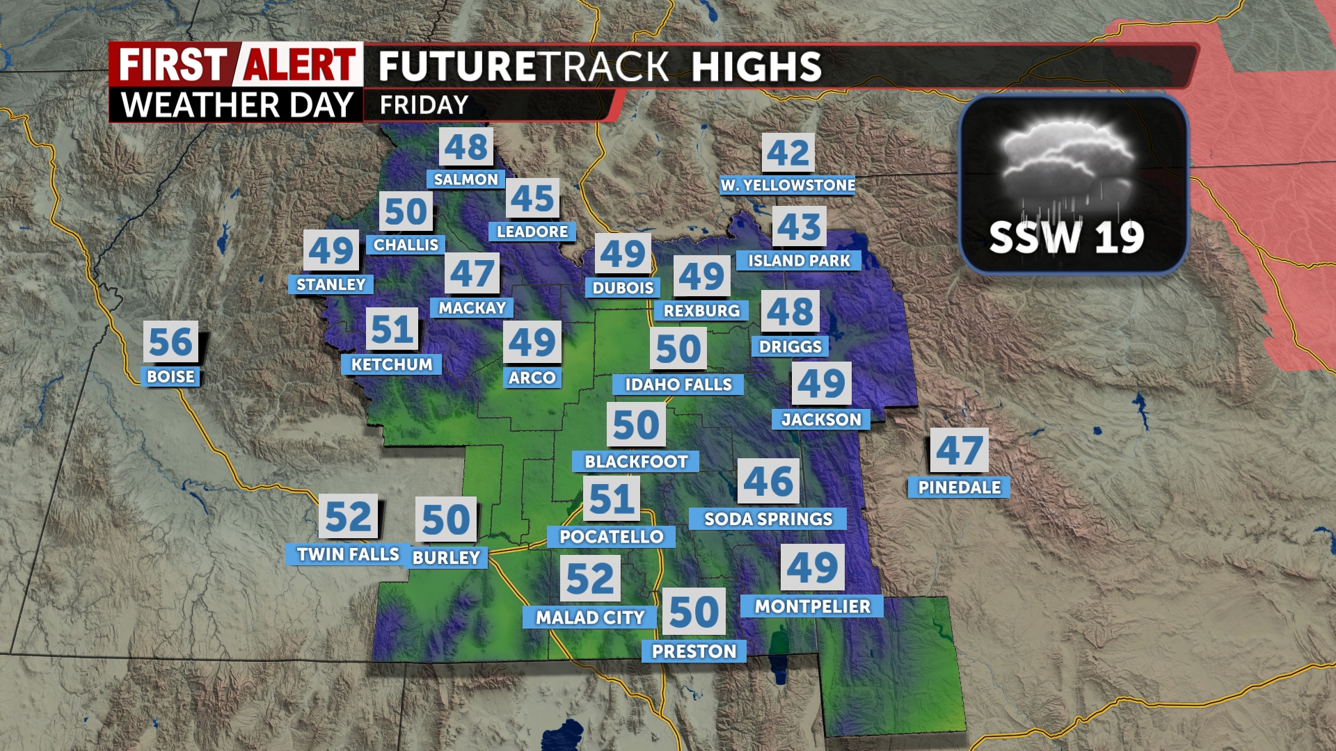
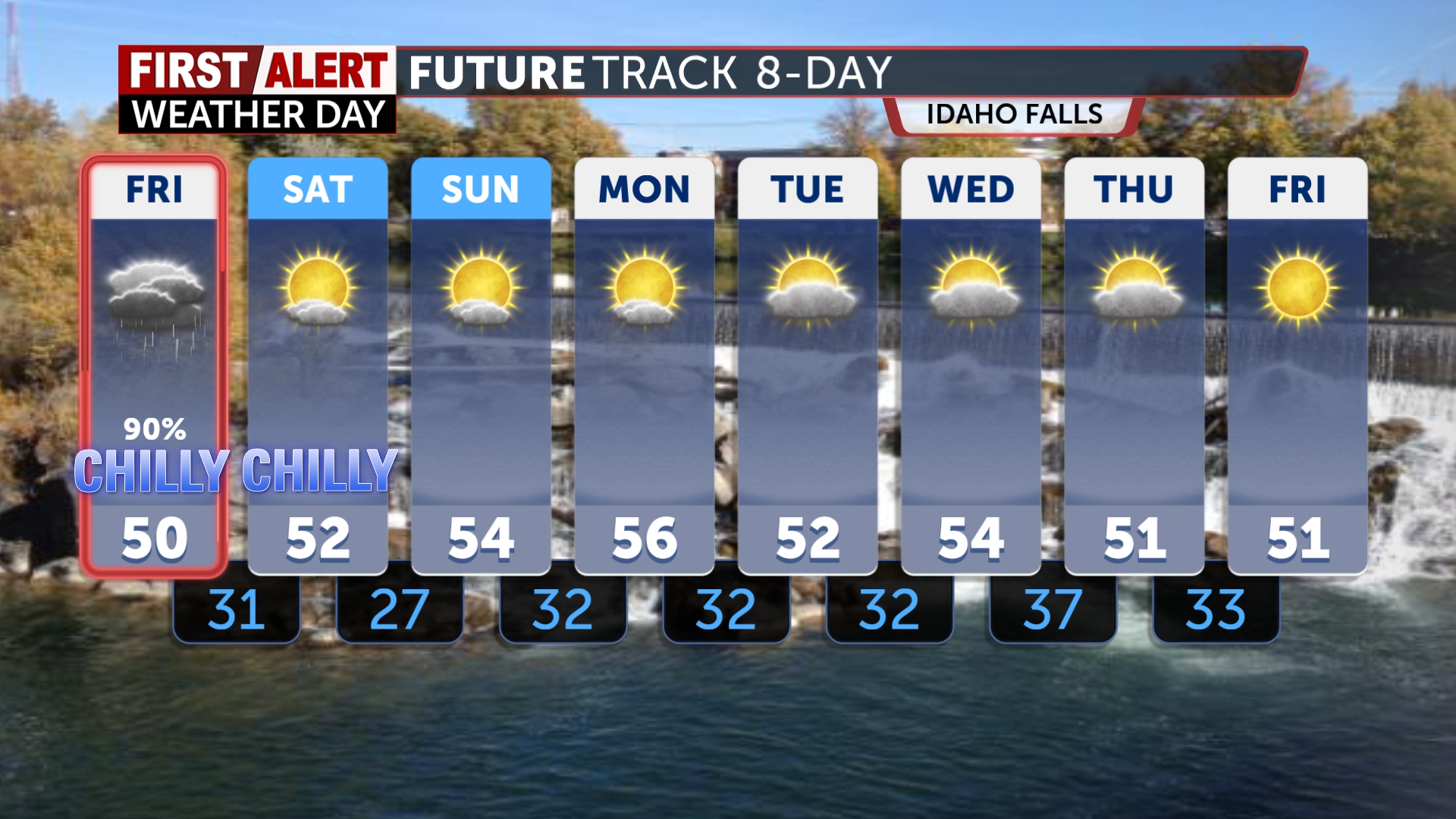
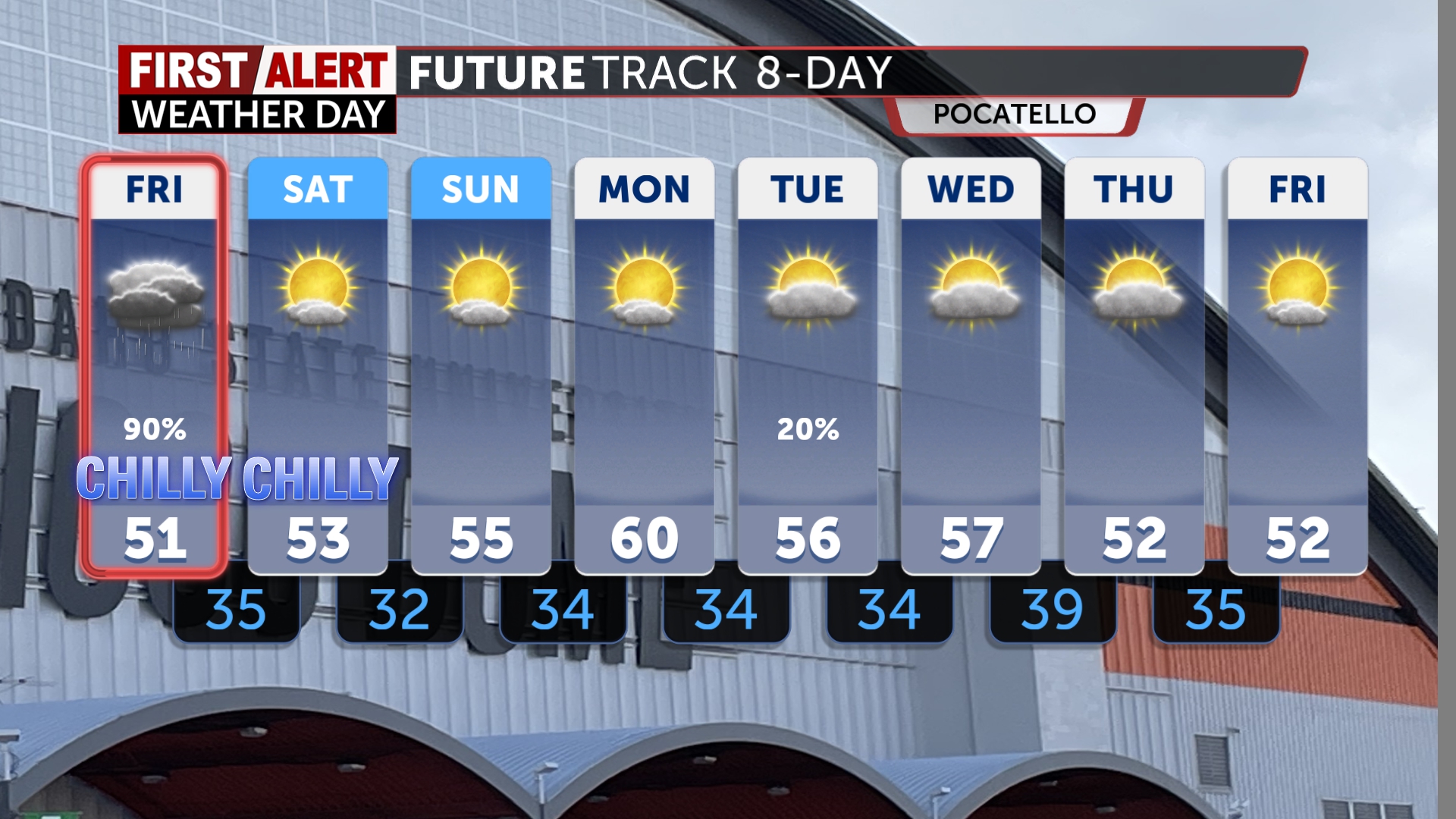
Low pressure and drenching rain with a chance of thunderstorms to start Friday. Accumulations anywhere from .50″ to 1.25″ possible dependent on dry air in the circulation. We’ve got wind gusts to over 30mph possible and slick conditions. This low will circulate counterclockwise and spin the winds from various directions and outflow from thunderstorms may catch you off guard while drive and you’ll want to check your property for possible fly debris/decorations. Witches on brooms will get better gas mileage today. All this clears out by tomorrow and the temps today will only get to the 50’s. Cold tonight with lows in the 30’s then 20’s after Saturday’s clearing and highs in the 50’s.
A nice stretch of more autumnal day Sunday and Monday with chances of showers coming back into the weather picture by Tuesday. We will still have below average temperatures after we swing the back door open for colder air making snow for the mountains today and tonight. I want you to bundle up and keep that rain gear today and remind the kids to bring their big coats home for the weekend.
Jeff Roper, First Alert Weather