

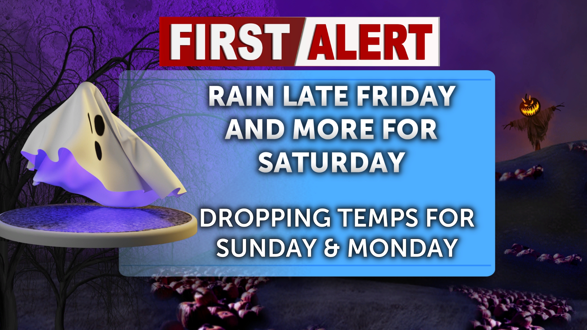
Enjoy the dry weather this Friday morning and afternoon, as low pressure begins to ride in from the Northwest toward Halloween weekend. This means trick-or-treaters should keep an umbrella in their candy bag or find a costume that can carry one, as rain and storm activity will cover the region this Saturday and Sunday.
Most of the moisture we see this weekend will stay to the West until Friday evening. That means we will start the day with overcast skies but little precipitation. Lows will start the day in the upper 30s, and we will gradually warm to the upper 50s by 4 pm. Partly sunny skies are expected through the late afternoon, but things will take a spooky turn as the sun sets. A slight chance of rain will settle over the Eastern Idaho and Western Wyoming region around 11 pm, with more scattered rain clusters just after midnight. Overnight lows will dip back into the 30s. Light snow is also possible overnight in the Central Mountains.
Rain is likely this Saturday, mainly after noon. Fog is possible before 11 am. Otherwise, it will be mostly cloudy, with a high in the mid-50s. Wind gusts aren’t much of an issue, but expect speeds around 20-25 mph. Rain activity will pick up by Saturday evening, with precipitation mainly sitting between 70-90% across the area. Most people will see 0.10-0.25 inches of rain heading into early Sunday morning. Rain and snow will continue Saturday night and early Sunday.
Sunday will start off wet for November! Expect more scattered rain with mountain snow throughout the day. Most moisture and wintry mix activity will be from West to East across Idaho. Temperatures are cooling, with highs in the upper 40s and lower 50s. The chance of precipitation is 90%. Don’t forget to set your clocks back!
Heading into Monday morning, there is A 30 percent chance of rain before noon. It will be partly sunny in the afternoon, with a high in the upper 40s. We will start a pattern of partly sunny skies throughout the following week, with seasonal temperatures.

