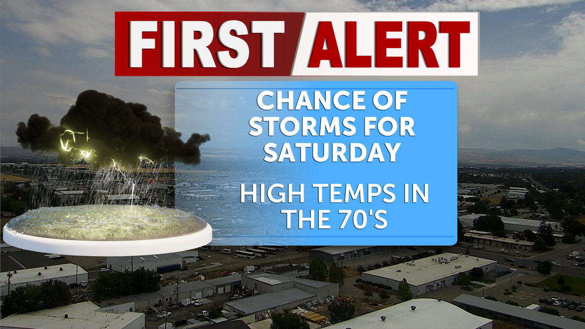

A good chance of storms still lingers into Saturday and the weekend forecast around Eastern Idaho and Western Wyoming. Local heavy rainfall could be sporadic, as some remaining thunderstorms still sit above the region, leaving a flash flood watch in effect for Saturday. These isolated storms could carry into the first portion of next week, with high temperatures remaining below average until the storms subside.
Monsoonal moisture will push through the region on Saturday, bringing pop-up rain showers to many residents, especially in Southeastern Idaho. The overall weather outlook shows primarily minor impacts from these storms, aside from the possible flash flood watch still in effect for the Big Rock burn scar. While high gusts may accompany some of the pop-up thunderstorms, conditions are expected to ease as we move into the middle of next week. There will still be slight chances of storms through Tuesday afternoon.
High temperatures on Saturday will range from the upper 70s to low 80s, with the highest chance of precipitation occurring near the central mountains. Wind gusts may increase slightly as storms pass through, with speeds reaching 15-25 mph, particularly in the afternoon. Showers and thunderstorms are expected to intensify after 4 p.m., while overnight lows will drop quickly to the lower 50s and 40s, signaling the approaching end of summer.
Clearer conditions are forecast for Sunday, with more sun and a high near 80°F and an overnight low around 50°F. A few isolated thunderstorms may still occur on Sunday afternoon and evening.
Monday is expected to be mostly sunny, with a high near 82°F. However, storm activity is predicted to return Monday night, bringing a 40% chance of showers and thunderstorms before midnight, along with rain after midnight, and a low near 52°F.