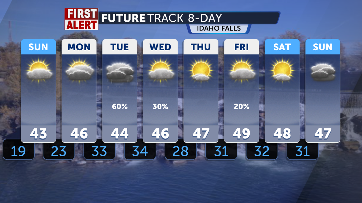

While temperatures are increasing, rain showers and thunderstorms will work their way into our region this Wednesday evening. Expect these to begin very light and isolated in coverage, with the main impact hitting land by Thursday and Friday. A return to mild and seasonal conditions is expected by the weekend.
We are starting off Wednesday morning with mostly clear skies overhead. Most of the storm activity being tracked will drive up from the South throughout the day, presenting small impacts of thunderstorm and rain activity with gusty winds. Widespread impacts, however, look pretty low. Chances of precipitation will begin mainly after midnight, when the monsoonal moisture will drift northward and push into Eastern Idaho.
High temperatures today will climb up into the upper 70s and low 80s across the region, with precipitation chances mainly confined to the eastern highlands. Peak wind gusts will settle around 15-25 mph this early afternoon. Low temperatures will climb back down into the 40s for the mountains and highlands this evening and 50s across the Snake River and Magic Valley.
High temperatures for Thursday will settle around the mid 70s and barely push towards 80. Expect alot of cloud coverage across the region as precipitation chances pick up with the isolated rain showers and thunderstorms across Eastern Idaho. Gusty winds will pick up tomorrow afternoon into the 20-30 mph range.