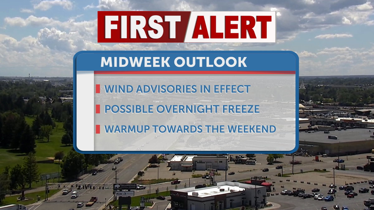

IDAHO FALLS, Idaho (KIFI) – We’ll continue to experience a slight cold front push through the area this Wednesday, as gusty winds bring the possibility of a midweek frost. Pockets of rain will continue to push northward towards the more mountainous region near Island Park, and we’ll begin to see drier and warmer weather reappear by Thursday and Friday.

Wednesday morning begins with a bit of a chill, as breezes from the wind advisory continue to blow through from the southwest. Cooler temperatures to start the morning will be in the low 40s, warming to the upper 50s and 60s by this afternoon. Humidity chances drop off to the 20th percentile throughout the region, and conditions will continue to dry out as we approach the end of the week. A wind advisory continues to remain in place until 9:00 pm Wednesday evening. The radar of potential impact includes the cities of St. Anthony, Rexburg, Idaho Falls, Mud Lake, and Craters of the Moon National Monument, as well as the Idaho National Laboratory. Winds 25 to 35 mph are expected with gusts up to 50 mph.
On Thursday morning, a frost advisory will be in effect for the Arco Desert, stretching toward the Upper Snake River Plain. By Thursday afternoon, we will climb back up into the 60s for our high temperatures. A warming trend will begin on Thursday with sunny skies and a high near 70. Calm winds will have speeds in the single digits. Clear conditions are expected at night with a low near 38 degrees. Sunny skies and warmer temperatures will continue, with many areas reaching the upper 70s and into the 80s by the weekend.
Wind Advisory issued June 9 at 1:04PM MDT until June 10 at 9:00PM MDT by NWS Pocatello ID
* WHAT…West winds 25 to 35 mph with gusts up to 50 mph expected.
* WHERE…Eastern Magic Valley, Shoshone/Lava Beds, Blackfoot
Mountains, Marsh, and Arbon Highlands, Raft River Region, and
Southern Hills/Albion Mountains.
* WHEN…From 9 AM to 9 PM MDT on Wednesday.
* IMPACTS…Gusty winds could make driving difficult, especially for
high-profile vehicles. Unsecured objects may be blown around.
Strong winds and rough waves on the area lakes will create hazardous conditions
conditions for small craft.
Winds this strong can make driving difficult, especially for high
profile vehicles. Use extra caution.
Secure outdoor objects.