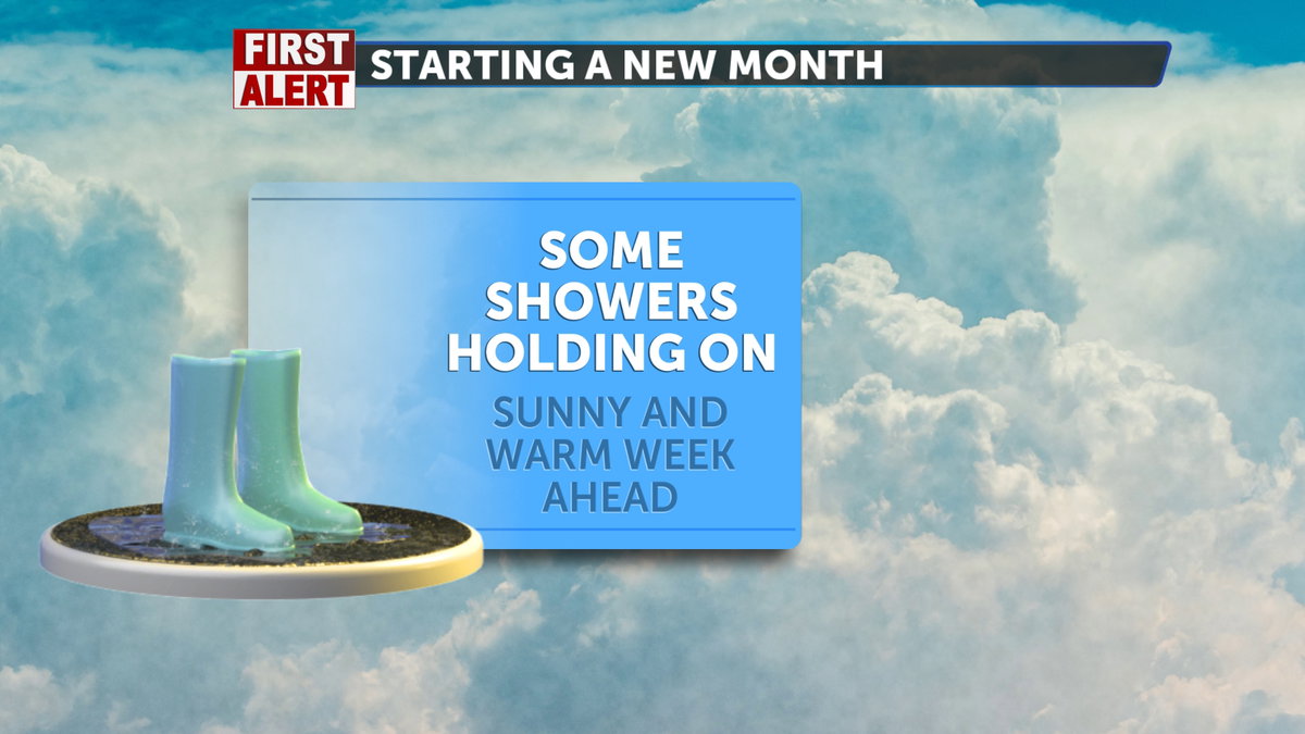

We will start June with cooler temperatures and a brief period of showers moving through Eastern Idaho, heading northward. Although today may require a jacket, we can expect a gradual warm-up throughout the week with minimal impacts anticipated.
Monday morning is expected to start off cool, with temperatures ranging from the 30s to the low 40s. High temperatures throughout most of Eastern Idaho and Western Wyoming will reach the 60s, while areas further south may approach the low 70s. Humidity levels will begin to dry out, with expectations generally between 15% and 30%. There is a chance of isolated mist, thunderstorms, and rainfall, particularly in the mountainous regions. During the afternoon, wind gusts are forecasted to be between 15 and 20 mph, with slightly stronger gusts expected over the Craters of the Moon Preserve.
Although it will be a few degrees warmer, expect Tuesday to start off a bit chilly, with temperatures in the 30s and some isolated areas in the 40s along the region and the I-15 corridor. High temperatures are expected to reach the 60s and low 70s, gradually warming throughout the day. Humidity levels will be very low, as the chances of thunderstorms and rainfall from today will decrease, reducing the likelihood of any similar weather on Tuesday.
By Wednesday, high temperatures will be in the 70s across the mountains and in the low to mid-80s on the Snake River Plain. By this point in the week, dry weather will return almost entirely. Wind gusts are expected to sit around 15-25 mph.