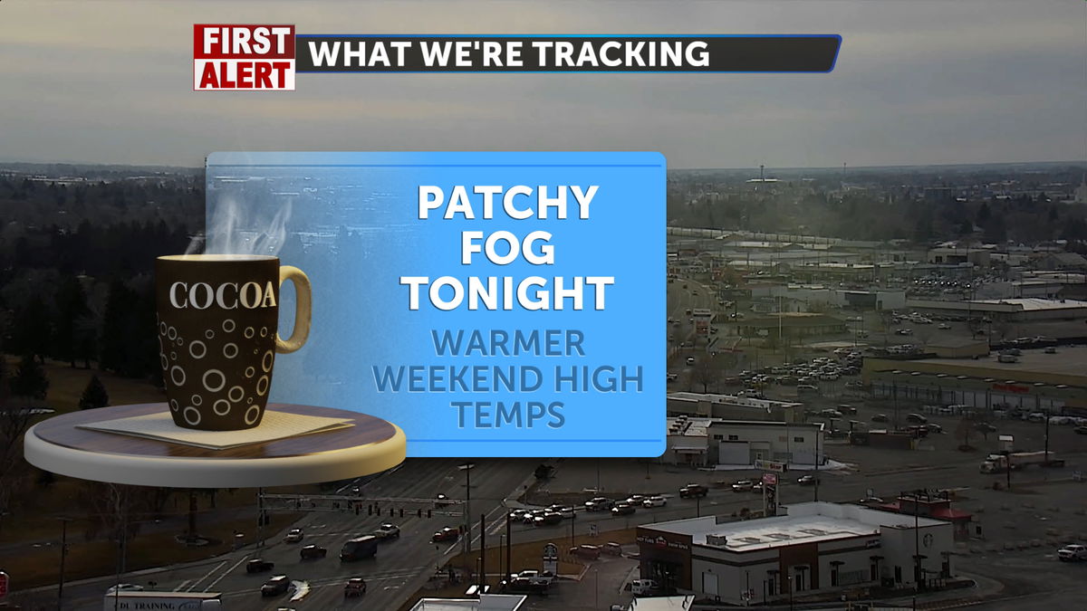

High pressure will dominate our forecast for the weekend and the foreseeable future. There is some patchy fog still looming around the horizon for the overnight and early morning hours. With this high-pressure system rebounding in from the West, we’ll also see warmer daytime temperatures this weekend, with highs climbing into the upper 40s and lower 50s.

AIR STAGNATION ADVISORY IN EFFECT UNTIL NOON MST MONDAY:
- WHAT…Poor air quality will continue. This is due to an inversion and stagnant air near the surface, which will continue to trap pollutants.
- WHERE…Franklin/Eastern Oneida Region and Lower Snake River Plain.
- WHEN…Until noon MST Monday.
- IMPACTS…Periods of air stagnation can lead to the buildup of pollutants near the surface.
In Saturday’s forecast, there is a chance of fog in the morning, which should clear as the sun rises. With mostly sunny skies in the afternoon, we’ll see a bit of dry weather across the region. High temperatures in the lower to mid 40’s for the Plain. The probability of precipitation is very low for the more Northern Highland areas.
We can expect partly sunny skies on Sunday, with high temperatures ranging from 45° to 50° across the Snake River Plain. A light north wind blowing in will cause a slight chill. An overall pleasant weekend in the Snake River Plain and mountainous areas.
A shortwave of cooler temperatures will move over the area by Monday, bringing a slight chill to our lows and the possibility of flurries in the highlands. We will see a warming trend on Wednesday, quickly heat the area back up, with highs getting into the 50s by the end of next week.