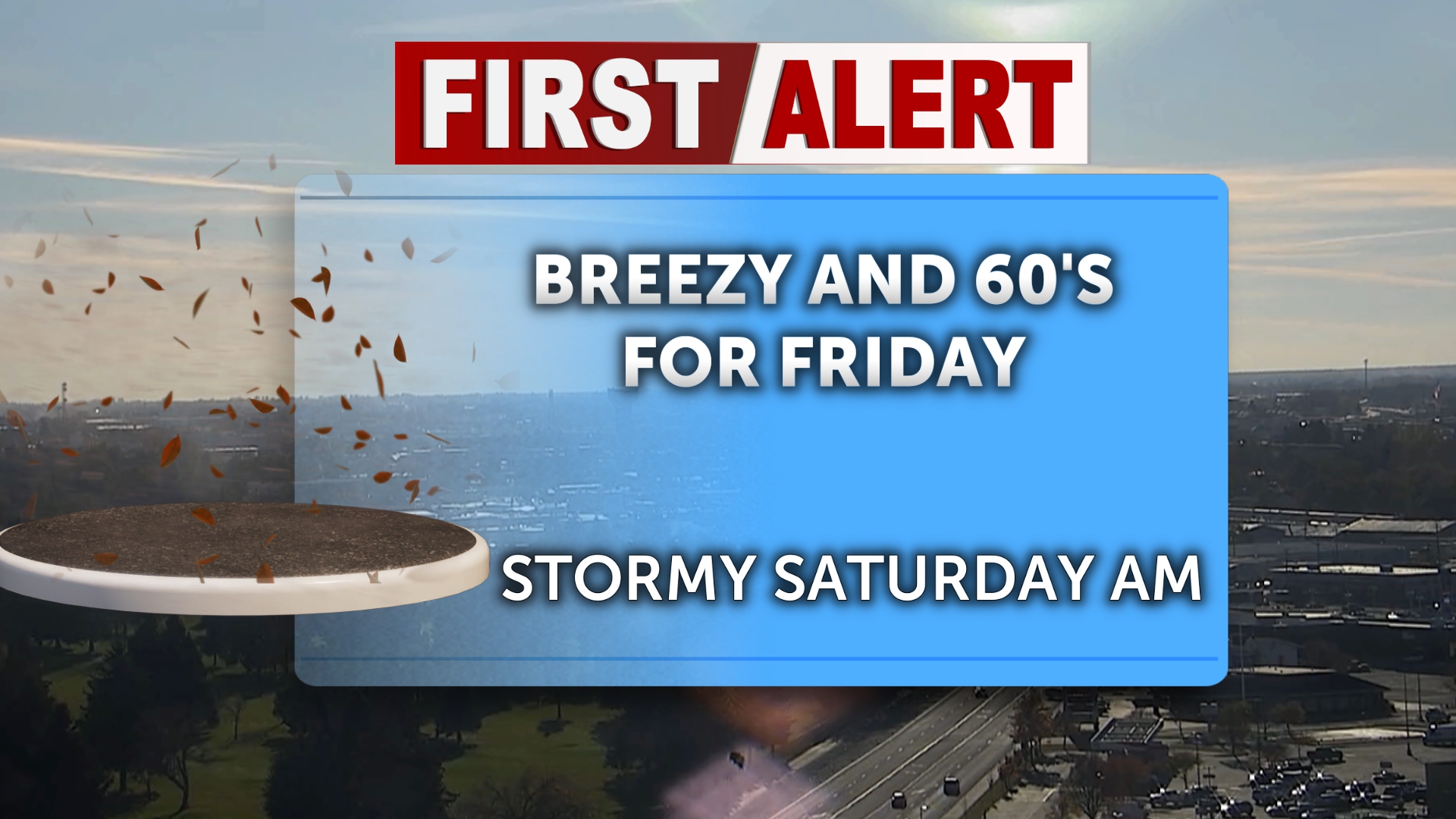

Enjoy the remaining dry, warmer weather this Friday as storm clouds gather to the West and prepare to move into the region late this evening. Friday evening begins a series of rain/wintry mixes and snow chances we will see on and off throughout the next few days in Eastern Idaho and Western Wyoming.
Friday morning will start with cool temperatures sitting in the upper 20s and 30s. Overcast skies this afternoon will bring a few more clouds than we’ve seen over the past few days, but overall afternoon highs will remain about 10-15 degrees above average and near 60. Wind gusts will begin to pick up across large portions of the region this afternoon before precipitation, with speeds up to 20-30 mph. Overnight lows will be milder tonight with the cloud cover and precipitation in place.
Precipitation chances arrive late Friday evening, with stretches of the Central Mountains first receiving light snowfall overnight. By early Saturday morning, rain and wintry mixes will begin to stretch across Eastern Idaho. It will feel noticeably cooler, with temperatures dropping by about 10 to 15 degrees across the area and highs sitting in the 40s. It will remain breezy on Saturday, with 20 to 30 mph wind gusts across the Snake River Plain and Magic Valley. Precipitation will ease slightly by Saturday afternoon, but some snow chances are still possible toward the Wyoming area later in the day (a typical Fall storm).
Sunday will remain cool and partially sunny, as the first system of this wet weather moves out. There will be a brief lull in precipitation on Saturday, with high temperatures trending downward over the next few days. More unsettled, wet weather is expected to start at the top of next week, so keep an umbrella and hand warmers in your car. A First Alert Weather day will arrive by Tuesday, with more rain and snow expected.