
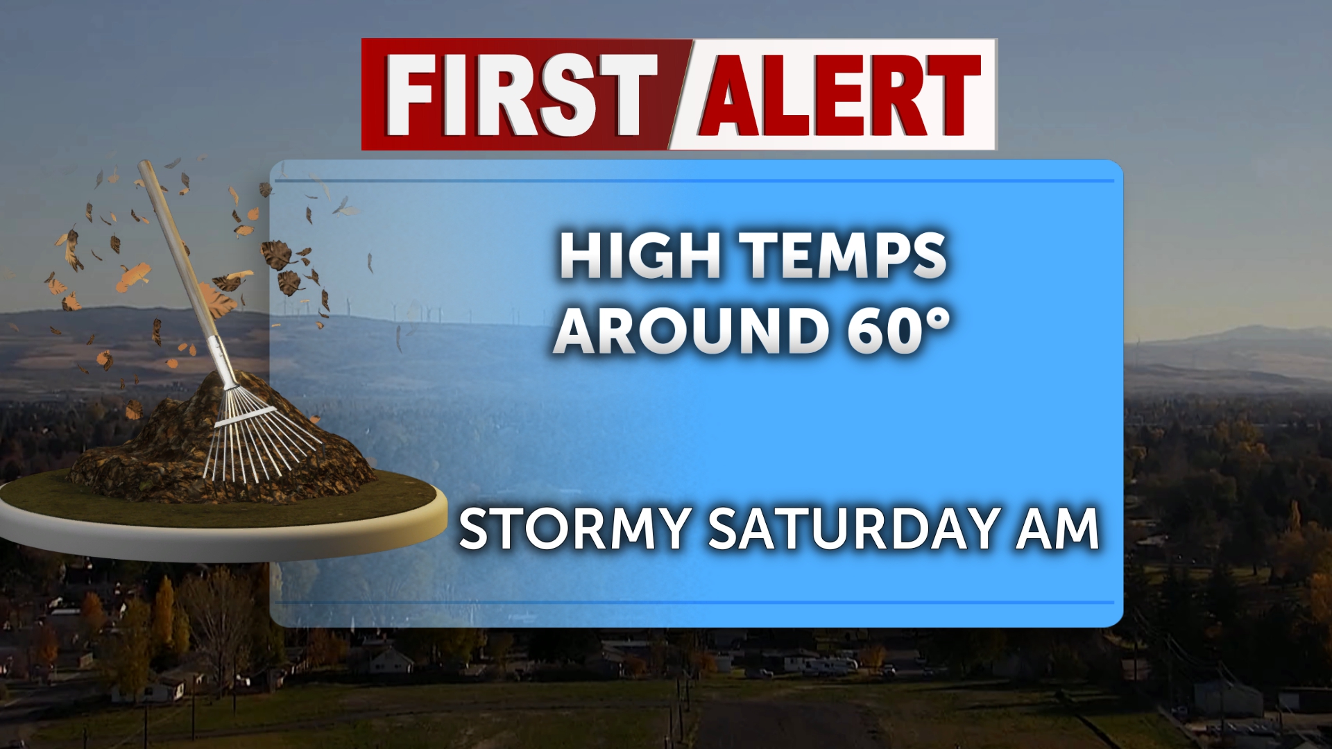

We will continue to enjoy sunshine and warmth this Thursday afternoon, as high temperatures climb into the upper 50s with a clear radar. The above-average temperatures will begin to cool by Friday, however, as we track cooler, wetter weather into the early weekend.
Thursday morning will start bright and brisk, with calm winds pushing in from the north around 6mph across the Snake River Plain and overall clear skies. As sunshine fills the region, temperatures will climb from the lower 30s to the 40s by mid-morning, and you can expect to feel the 50-degree mark around 11 am.
The Thursday afternoon forecast will continue to show a clear radar, with temperatures nearing 60 degrees by 4 pm. With plenty of sunshine, it is a great day to get outdoors and enjoy the fall foliage. Temperatures will begin to cool back toward the lower 30s by sunset this evening around 5 pm.
Friday morning will look similar to Thursday, but conditions around the region will begin to change by Friday evening. Winds will begin picking up throughout the day, with speeds around 20-30 mph gusts for the afternoon and evening. Cloud cover will increase throughout Friday afternoon, but high temperatures will still be above average and well into the upper 50s. By Friday evening, temperatures will begin cooling again, with overnight lows around 30 degrees.
Heading into the weekend, the high pressure over Eastern Idaho and Western Wyoming will weaken, inviting in some of the Northwest storm activity that has wrapped around Oregon and Washington over the last few days. As it approaches the region, expect wintry precipitation chances to increase over the Central Mountains. By Saturday morning, most of Eastern Idaho will see precipitation, with varying snow and rain mixtures scattered across the region.